Although staying fit plays a major role in our retirement plan, our motivation for adding posts to the AWW Blog is to show those that have never visited Canada what a beautiful country it is. At least as it pertains to our neck of the woods!
May 13, 2021 - Cool sunny weather and still no mosquitos made for the perfect conditions for hiking in Pukaskwa National Park, which is located @ 30km from our home. This hike to the "Swing Bridge" is one of the hardest hikes in the area but the scenery makes it worth the effort.
Pukaskwa National Park covers an area of 1878 square km and hunting is prohibited, so wildlife flourishes. This wild rabbit is out to feed on the fresh green grass.
Trudy standing beside a metal statue depicting the average size of a cow moose (female)
A tall Poplar tree (15" in diameter) gnawed down by eager beavers in order to access the smaller branches at the top. I included my walking stick as a scale.
The trail improves and we are able to pick up the pace.
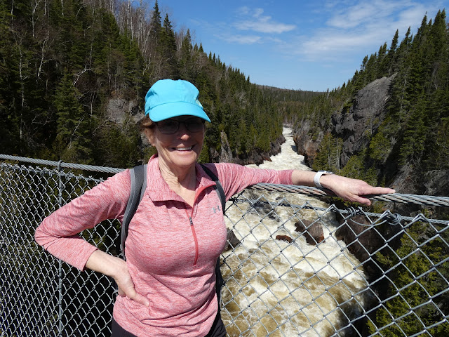
The Swing Bridge, which spans across the White River, which in turn flows into Lake Superior. The Bridge was rebuilt a couple of yrs ago, making it more sturdy and safe. The original bridge was much more "flimsy" and would swing from side to side as you walked across, thus the name. Many hikers would make it to the bridge but refused to cross it for fear of falling.
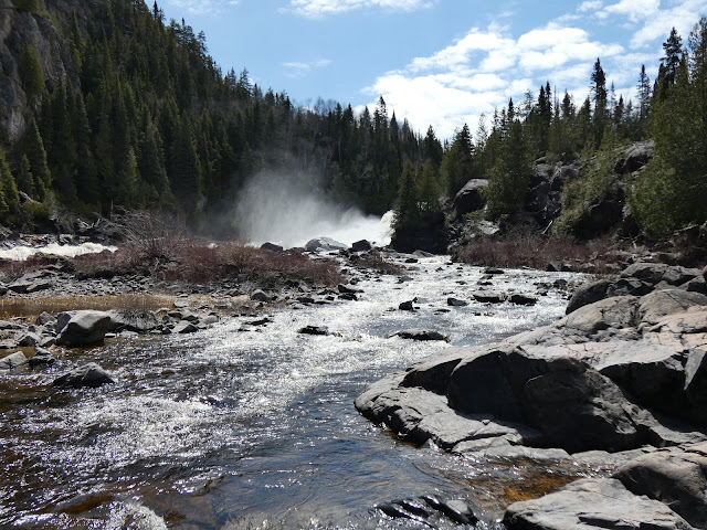
We then carried on for another km to see Hook Falls. Unfortunately the rocky terrain would not allow us to take a better photo of the falls.
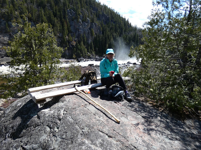
Top end of the falls. That's as close as Trudy would allow me get. Falling into the water would not have had a happy ending!


Lovely country!
ReplyDeleteMost of the AWW wouldn't attempt that walk with the underfoot conditions. Well done you two we miss you guys.
ReplyDelete