Wind Turbines above Budens Wed Feb 14th
My thanks to AWW for allowing me to be your newest walk leader. I had been properly briefed by Geoff on how to communicate the starting location , choose a rural cafe with adequate parking and of course “reccy” the route to minimise the surprise element.

( Linda, Kieran, Fiona, Susan, John, Sue, Geoff, Bruce, Gillian, Julie, Tony, Alan, Peter and Vyv)
Names in order on my booking sheet not the photo


Not long before most members recognised the GR13 which had provided the long distance walks of a few years back. Now the route became flat with a sandy surface and wide panoramic views back to the sea and the mountains to the north east
 As we walked toward the Turbines, the photo ( and my thanks to Alan for providing all the shots) highlights the height and perspective against us mere mortals

We are here to enjoy ourselves and we are !
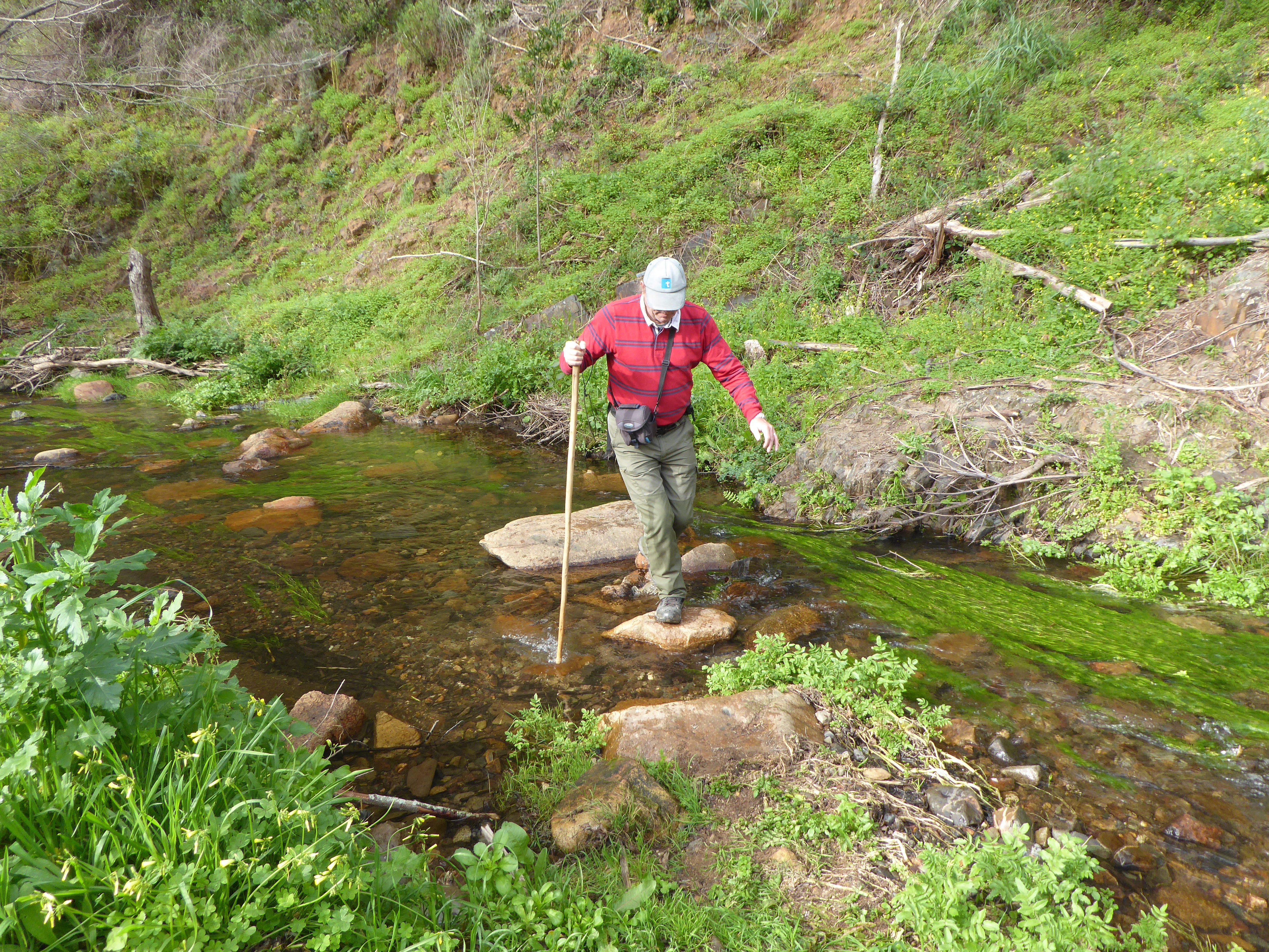
 The lunch spot approx half way provided a little shelter from the wind, We could now see the ER268 main road to Carrapateira.The next few kms had a significant change of scenery and a nice downwards slope, but of course , going into the valley meant a few more water hazards to negotiate .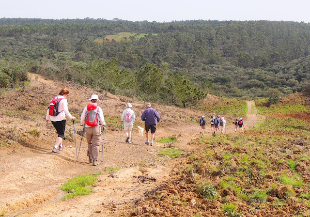
 .We eventually arrived at the main road ( dirt track ) to Petralva and a nice gentle slope back up to the plateau
 Up to this point we had diligently and successfully followed the red line on the Map ! But why or why did we depart off this line. As always we paid the price and through bush and scrub following a goat trail rather than footpath but probably no more than 100m from the designated route . Eventually back on the route despite a homestead which clearly said “Beware of children and dogs”


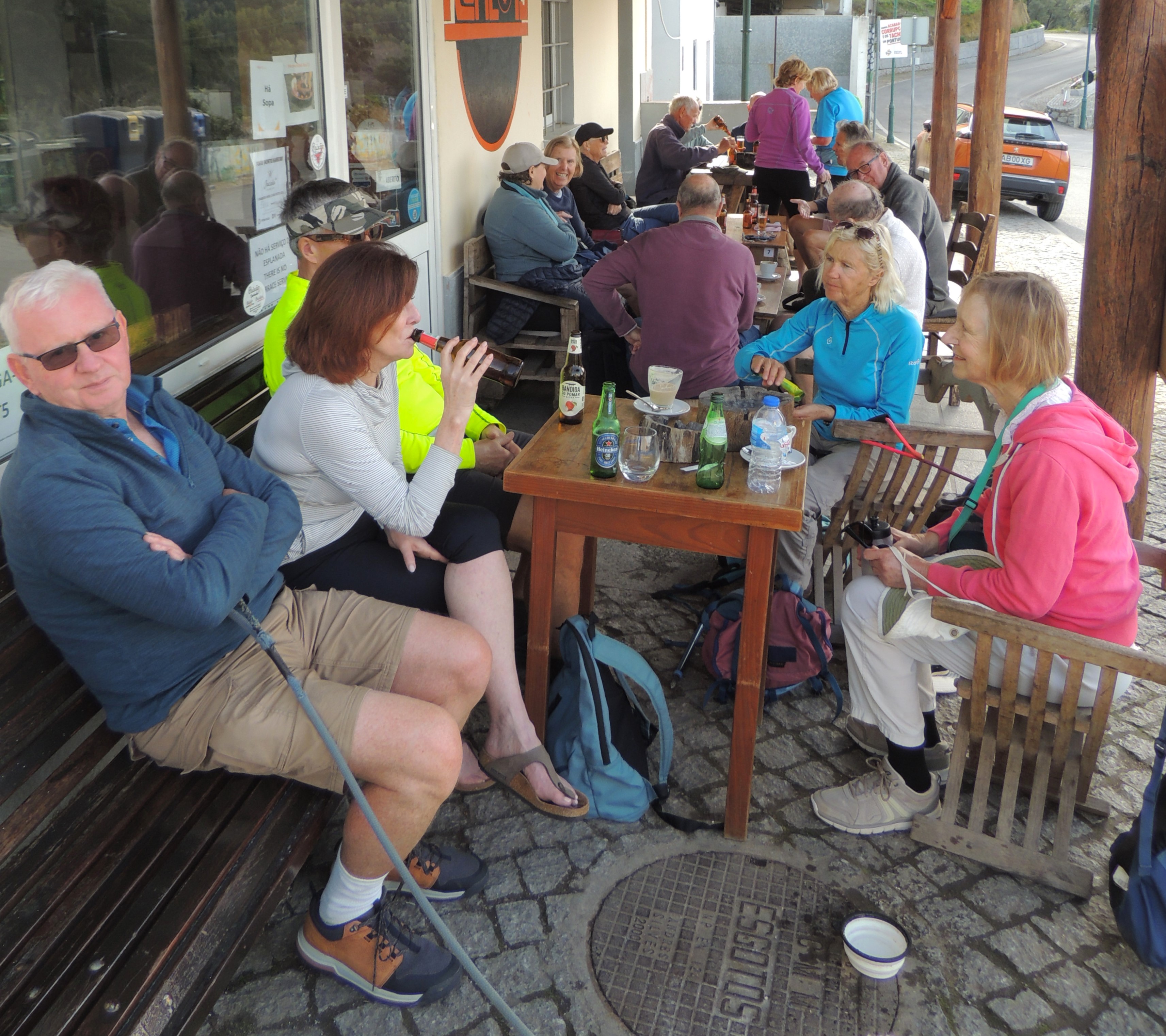
And finally back to the cafe for refreshments.


….. and off we go
The first 2kms was effectively up hill with majority on the tarmac road that is the perimeter road of San Antonio Golf Course ( previously known as Parque De Floresta). We had stayed there as a family last August and had the opportunity of researching a possible walk ( but not a reccy )


We are here to enjoy ourselves and we are !


 .
.


This map was produced using OSMandMaps ( an Ap available for mobile phones, tablets or PC) . Other very similar Aps are OutdoorActive , Maps.me. I would recommend using the free versions ( a bit more limited) until happy with the process. You do need to download the Map of Portugal on your phone which includes all the recognised footpaths ( but not goat trails!). Whilst on the walk you can then see precisely where you are at any given time.
It is then possible to download a GPX file from any of the Aps and share with other members so the route could easily be followed even if the leader/owner is not present.
My thanks to all of AWW for the welcome showed and the patience when it was obvious that we had gone a little adrift, and particularly Peter and Bruce who scouted the way through
Best wishes.
Vyv James