Friday, 13 November 2020

MWAWW - 11th November - Carrapateira to Pedralva


This week the Most Westerly Algarve Wednesday Walkers decided to do what is known as “Jim’s walk from Carrapateira to Pedralva”.  Not only is it a beautiful and varied walk but it also has a great picnic spot.  Nancy and Steve seemed to think that Margaret could remember the walk from last time despite her protestations.

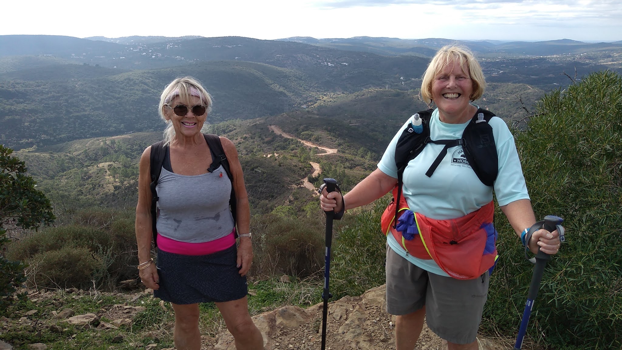
We met at the Os Amigos Bar and fortified ourselves with a coffee.  The five this week were Steve, Margaret, Nancy with guests:- another Margaret and Davey who took the photographs including the socially distanced, Covid-protected team photo at the beginning.


Margaret remembered that the start was across the road taking the right hand turn signposted Amado.  The track was in good condition, well laid and slightly uphill.  Towards the top we were rewarded with a magnificent view of the Amado beach.


The track turned inland and soon reached the N125, where we turned left then almost immediately turned right following a sign to Vilarinha.  The track took us through a wooded area then opened out onto a panoramic view where we could see signs of areas that were destroyed by fire.


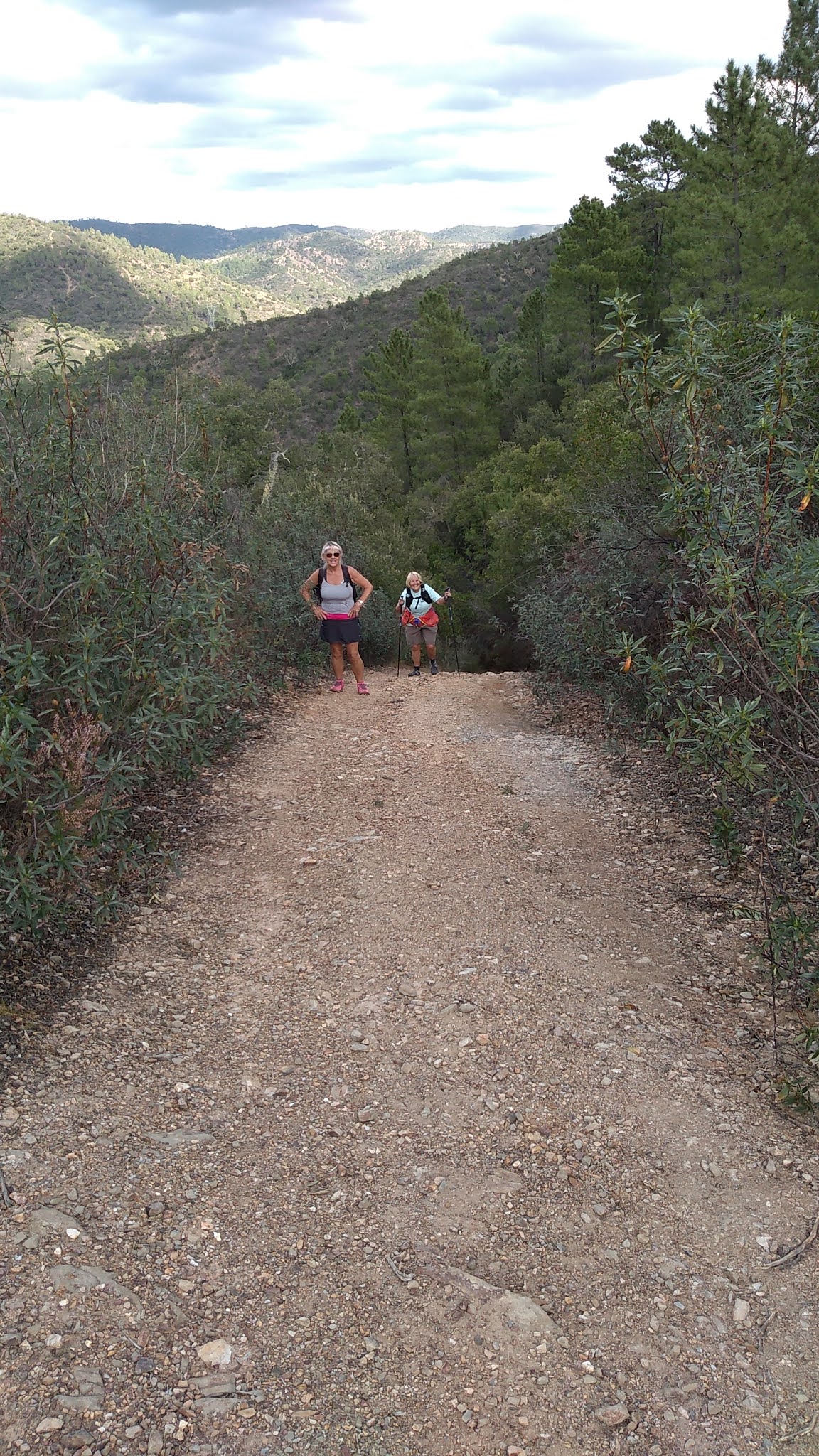
We knew we had to take a turn to the right somewhere.  Fortunately it was signposted Pedralva 5Km.  This proved to be a long 5 Km.  The footpath became narrow and slippy then started to climb and climb with a few hairpin bends until we reached the top where we paused for a drink. 


What greeted us was haunting; like a scene from a science fiction movie.  All we could see for miles was burnt trees from the fire in June 2020; the fire that had been started by accident when a strimmer overheated.  We could still smell the burnt wood.  But as we descended a rather tricky path there were signs of new growth starting.


New hope.
We decided to follow the footpath signs so we didn’t get lost. 


We then reached a better track where we passed the hippy camp, (this time with no outside loo) and the house with the amazing treehouse.   This was where the signs of a blazing fire stopped and we were back in the greenery again.  We passed another camp where we could hear some children and the signs concurred. 


The path was then straightforward to Pedralva where we stopped for lunch, filled our bottles with water from the tap and had a look around.  Margaret (the guest) had never been to Pedralva before and was fascinated by its history.  (We told her Ros’s version).

Refreshed by lunch we returned from whence we came but this time we continued on the path to Vilarinha where a new loo appeared.


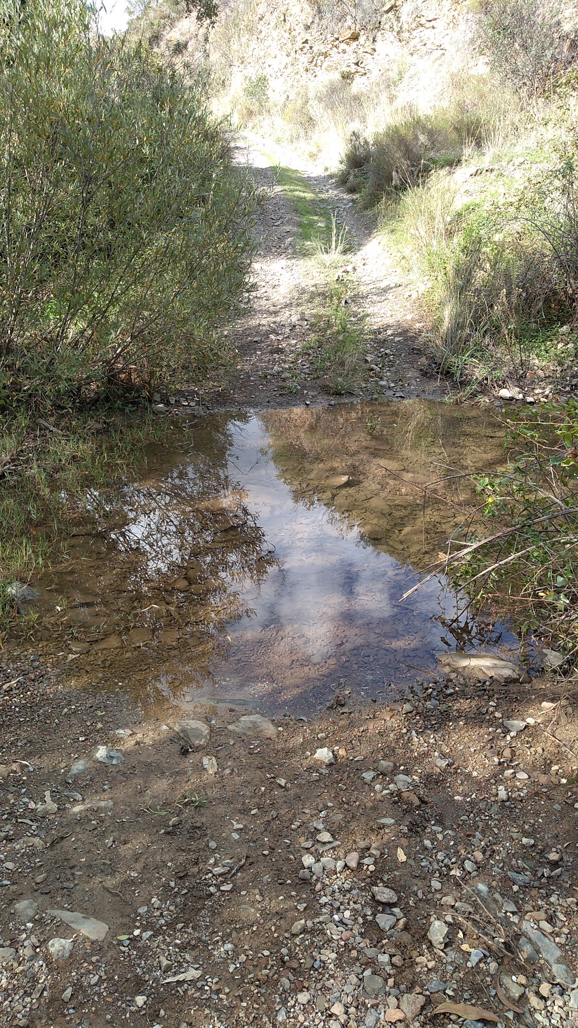
We crossed the river 6 times but most of the crossings were dry despite the recent rain.  We only needed to use two of the special crossings.


We then turned left up the hill.  Heads down, count the steps until we could see the trig point.  We looked out across the sea and saw a strange shape, too rectangular to be a new island, far too big for a ship. Any ideas?

None us could climb the trig point so we decided that the insect was the youngest member of the group and he was quite happy to climb it. 


Then followed a wonderful descent.  All the hills were behind us and ahead of us was a view of the sea. 

We then treated ourselves to another drink at Os Amigos.


Thanks to Jim for originally mapping this route, Steve for leading the walk and Davey and Nancy for the photographs.

The Stats
Total Distance: 19.4km
Total Time: 6hrs
Time Moving 4hrs 44 mins
Average Moving Speed: 4.1 Kmph  


Friday, 6 November 2020

An oven-ready walk, sort of.


This week's walk from an EAWW quintet was led by Julie and Tony. It was, as Boris might say, an oven-ready trail, circular in nature and conveniently passing the Sol e Serra cafe/restaurant in Corte Garcia not far from Querenca. This is where we met and here is the starting group to prove it.


L - R Jan, Sue, Martin, Julie and Tony behind the camera.
Also one four legged friend, Rafa, brought by Martin.
We nearly had an interloper in Mr Whippy, but we had him licked
and were gone before he even realised.


Our basic route was the PR12, but since this was just 8.5km we had to do a little tweaking and stretching to make it worthy of an AWW. Our route took us through the back lanes and tracks of Corte Garcia and Adega and then gradually up into the hills to the north.


The temperature was rising and combined with the climbing it was time for a rest and a drink of water. A wise move as we had decided to walk up to the telephone mast on the top of Cerro Cepo at 438m.


At the top we were surprised to find a new wooden structure, built during the lockdown. Was it a fire lookout post? Or with a picnic table under its shady roof more likely a public viewpoint. Either way, it provided expansive views to the coast and Foia.


One day Jan this will all be yours.


It was a long walk down the track back to the Barranco do Velho road and then to the shaded parking area, not far from our start, where it was time for lunch.
We stuck to our standard 20 minutes, but it was tempting to walk back to the vehicles a further kilometre down the road.
We continued instead across the road and then the stream and then up the almost vertical path towards the main track leading to Cerros dos Negros.


I haven't mentioned our additional canine companion who'd been with us since we started. He'd been excellent company for Rafa and us too. We weren't sure whether we were showing him the way, or he was showing us the way. Here he is refreshed from the stream and ready for the climb.


I told you it'd be steep!


Time for a bit of a rest for all.


And take in the views.


Finally four of us managed to reach the summit for some of the best views of the day. Apart from Jan's graffiti on the trig point. (Just kidding)


Looking south from the summit, still with energy for the descent. If you blow up the picture you might just see Martin and Sue to the left of Julie's hand, under a tree by the path.


And so it was back down to the valley stream and a circuit along the side of it, before an unwelcome last climb back up to the road and the very welcome Sol e Serra for refreshments.We didn't even get to say good bye to our canine friend. He'd disappeared for his own refreshments.
Thanks to everyone, dogs included, for a very enjoyable walk.

Statistics:
 

Thursday, 5 November 2020

Five go hiking again

 AWW walk (Franks five) 4/11/20


Miriam, Frank, Ros and David. Ken taking photograph and Jasper and Bica busy elsewhere!


Although rain had been threatened there was no sign of it as we set off to trudge 2 kms straight up. It was hands and knees for some of the time.

   
                                                        A home made bike ramp along the way.


However the views from the top were spectacular.


Ros thought she might try a bit of paragliding as her family had done in the past.

 Who's the show off this time?


Then it was a challenging walk downhill to the valley floor.  After that we crossed under the motorway along fields of faded thistles and beautiful crocuses.


After lunch we made our way back under the motorway.


And viewed the real paragliders soaring above the hills.


Miriam took a wrong turn, then couldn't find the path beside the very active bee hives so there was a bit of off piste, before heading back to the cars.  Seems this group are making a habit of wrong turns!!


Stats: 

Distance:13.97 km

Duration: 3 hours 44 mins

Average speed: 3.7kph (no rushing today, too busy enjoying the views)

Elevation gain: 236m


Sunday, 1 November 2020

The Illusive Bridge


HERE WE GO AGAIN! TO FIND THAT LOST BRIDGE.

Well, when I proposed to Julie and Tony a re:re:run recce of the Elysium hills of Barranco I finally  gained two others to join us in an effort to find that Lost Bridge!! We all congregated at Tia Bia cafe in Barranco do Velho at 10.00 ready for the off and, champing at the bit was Hoover our four-legged friend but no, not her, Sue M!!

Pat and Hoover. Tony, Sue M, Julie and Jan, the leader taking the photograph. 28th November, 2020

 So, we set off down the hill what we had started many months ago when we only managed 10 kms. We were eventually rained off and thus turned back but today was a beautiful, Algarvian day perfect for the EAWW. No rain in site.  After a few minutes we turned onto  Serra do Alto path which I decided at the T junction to take a slight detour to show them what could be an interesting Grand Design project and, I know an Architect!!!

Heading back on the same path we passed the Fonte do Chafariz which led us to the back of the Institute of Florestry and the Community Day Centre. From here we headed down hill and up again onto a tarmac road. Crossing over at this point we took a lovely path where we began to climb to get to the  ridge. All was going well at this stage but we then headed down hill but was not on the path in the valley which we were planning to be on but instead we were on course for a bit of off-piste.


"Come on, ladies, it's not that steep!"

After the help of our knights in shiny poles used as modern day machetes which was used to help crush the bramble bushes. Trying to avoid them we clambered over a fence to get onto the valley path. Accept for Hoover who somehow managed to limbo under the fence!!! We all successfully made it over without too many scratches. We carried on this path which was the valley path we should have been on but by taking this off-piste section made us loose 2kms!!  Anyway, we enjoyed the beautiful countryside whilst being advised along the way about the many plants by our in-house horticulturist, Monsieur Spicer, including this one, the Oak apple. Not an edible species we are told. (Oak apple or oak gall is the common name for a large, round, vaguely apple-like gall commonly found on many species of oak).


We soon joined a tarmac road and lo and behold what did we find? Yes, that illusive BRIDGE! How could I have missed it before??


We came off the bridge and crossed the small river making our way to a ridge path but thought that the original route was too overgrown to clamber up on to it, so we turned back to the tarmac road and walked up for about 50 metres thus making it an easier access onto the ridge path. We continued the trail and followed the river on our left eventually down to the river crossing. There was a small amount of water to navigate but the use of the stepping stones kept our shoes dry. At this point, we discussed whether we would take on the long steep incline before or after lunch. So, with no further ado we all made the decision to get to the top before our stop. The repass break awarded beautiful views but it had been a long climb to get there.

 Pity we didn’t find this chair for lunch. It looked like a modern day look-out point for hunters? Any other ideas?


After our scheduled 20 minute lunch we started our home run. As we approached, the Barranco do Velho activity park we had a water stop at one of the "Fire look-out points". From here we decided to take the Rota Circuito back to the village. The path is a circular route with many activities showing individual sheds for storing local produce, such as, dried fruits,etc. We passed various activities; trapezes, such as, pull up rings, etc.


We continued the route and up to Zona de Casa and into Barranco do Velho where we finished our walk and, in the customary manner of the AWW, with a few well-earned refreshments at the Tia Bia Restaurant. Wonderful company. 

Found the Bridge but lost 2 kms!

Our usual in-house, photographer, Alan couldn't make the walk, so Tony stepped in to record our activity, thank you to Tony for your photographs and your horticulture information


Time:     4 hours

Length: 14kms

Around: 20 minute lunch stop.

 AWW 28-10-20   A Tour of the Turbines plus a bit more


Frank's Five ( Frank,David , Ken, Miriam and Ros ) and dogs Bica and Jasper are traditionalists so we walked again last Wednesday. After a coffee at our house we set off under a very cloudy sky. We walked to the East, to the North, to the South and finally to the West of these, today, very still and silent structures. During the course of all this circling the clouds cleared and it was a perfect walking day.

In spite of the ups and downs and some off-piste sections we reached the trig point near the turbines in such good time  it was too early to settle down at the tables and chairs at the viewpoint. Instead we admired the newly painted trig  and David couldn't resist pretending he was the youngest in the group who , traditionally, climbs the trig .


From the top we headed down, down, down to the Via Algarviana where we became temporary squatters in the garden of an old house while we ate our sarnies .

At the next cut off point Ken and Miriam decided to head for home as they had ' things to do ' and the remaining 3 of us continued along the VA through Fonte Santa. I nearly led them up the garden path to to Alte but we soon backtracked to the missed turning and looped back along the ' caminhos' to the VA and up the hill to Cumeada and back to Pomar.

The walk was 17.5 k and we elevated 500m up and 500m down !


One tired dog

The route.


MWAWW2 - Salema to Zavial - along the Cliffs


The MWAWW (Most Westerly Algarve Wednesday Walkers) met again this week.  This time on a Wednesday. Nancy led the walk which took us from Salema, over the cliffs to Zavial beach then back inland.  The walkers were Nancy, Steve, Margaret and a "guest" called "Chris" who took most of the photographs.


It started behind the posh apartments on the westerly high part of Salema.  We walked up some steps, then left civilisation behind us into a heavenly smelling wood which led to the sea.  The first beach is known for its fossils.  The tide was in today so although we could see the dinosaur footprints, we could not reach them. We did see what looked like the fossilised backbone of a dinosaur. 
Nancy and Steve pointing out the dinosaur footprints to Margaret

Dinosaur Footprints

Fossilised backbone of a dinosaur?

We then walked to and across Praia Santa. Then followed a scramble uphill to the Forte de Vera Cruz.  It was a beautiful clear day.  To the west we could clearly see the Cabo St Vincent; to the east we could see Salema, the cliffs above Praia da Luz, the lighthouse at the Ponta da Piedade (through binoculars) then the coast line of Praia da Rochas, Portimao, then Carvoiero.  Sticking out beyond that coastline was the top of a hill that we could not work out where it was (Was it the Cerro de Sao Miguel?).
Holding the Fort

The cliffs in the background are east of Praia da Luz


We then dropped down onto Figuera beach, popular with surfers today.  We deliberated a little, then decided to go for the climb.  We looked down on the small Praia de Blimunda e Baltasar where a nude man was walking into the sea.  No photographs.  
After a few more undulations, the footpath dropped down onto the road which led to the Praia Furnes. It was Barao Sao Joao on steroids; a UN commune.  There were old motorhomes and vans from Spain, France, UK, Germany, the Netherlands, Belgium, Austria, Croatia, Poland, the Czech Republic, Sweden and Norway to name a few of the different countries represented. It was full of young people (well they seemed young to us), children and babies.  They had converted an rundown building, adding solar panels and wind turbines and built another building out of wood which was being used as a café.  There was a sign saying “No Alcohol, No Drugs”.  Who are they kidding!


The commune

We crossed the beach and climbed again, traversing the cliffs to Praia Zavial.  Just before dropping down to Zavial beach we found a picnic spot with the most amazing views of the Algarve coast.  This was where we stopped for lunch, followed by a coffee in the Praia Zavial café.

 
Rested and fortified we then returned along inland tracks.  At one point we had to cross rough ground to get from one track to another, because the footpath was not obvious.  Well done Nancy for her navigational skills.

The route was straightforward to Figuera, where we turned and past the once magnificent building, now a ruin.  The vineyard has been flattened since we were last there.  We then followed the road back to Salema.

Back at Salema

Thank you to Nancy for leading such a beautiful walk and to Chris for the photographs.

Total Distance: 14Km
Total time: Over 5 hours including breaks
Average Moving Speed: 3.6 Km/hr
Maximum Speed: 10.2 Km/hr
Height climbed: